...
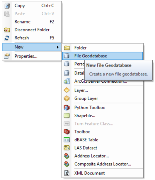
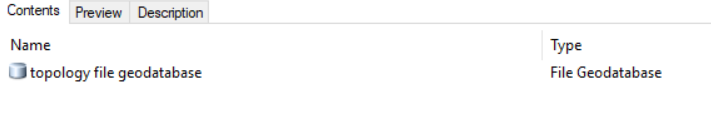
- Using ArcCatalog create a new file database by right-clicking in a suitable folder

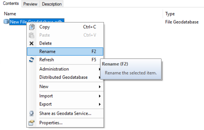
- Rename the file geodatabase appropriately

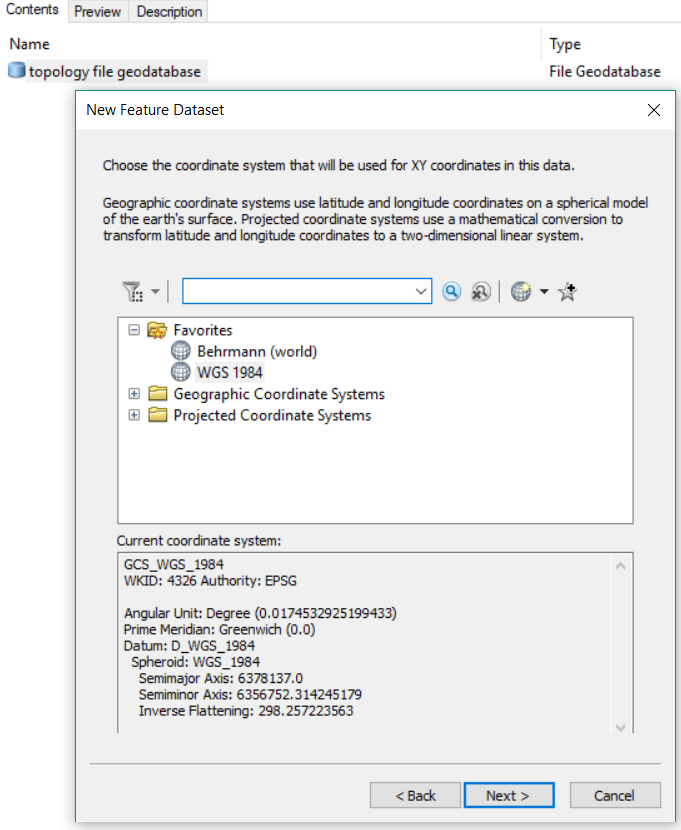
- Right-click the new file geodatbase and create a new Feature Dataset. Name the Feature Dataset appropriately.

- Name the Feature Dataset appropriately.
- Rigth-click the file geodatabase and create a new feature dataset.
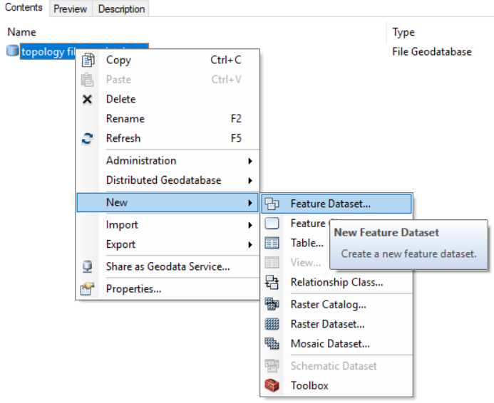
Name the new feature dataset appropriately
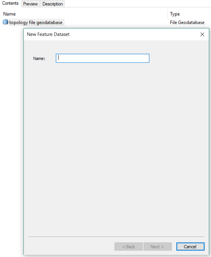
(The feature dataset name may not contain spaces.)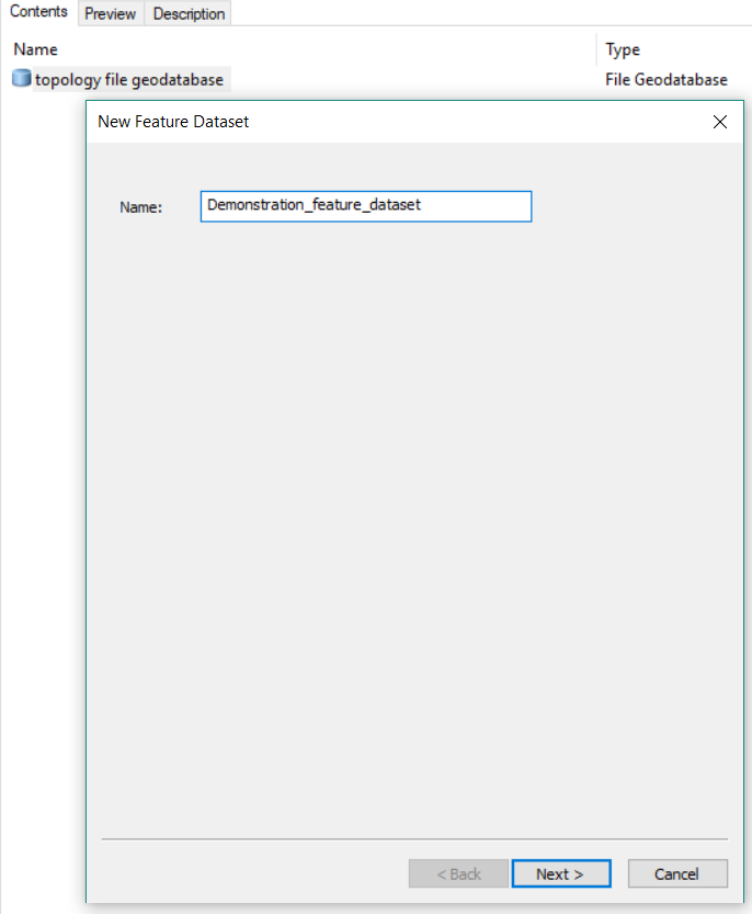
Accept the default coordinate system
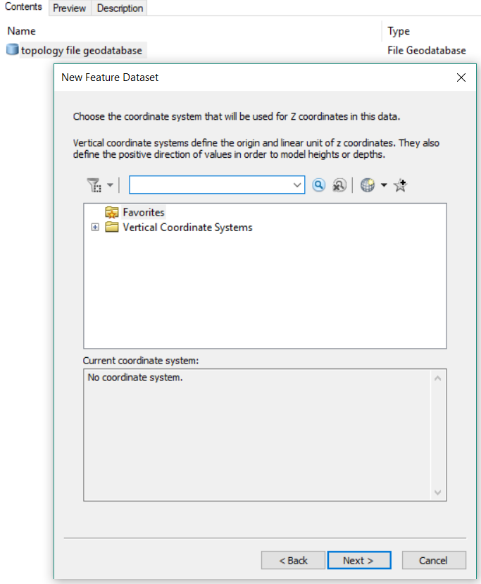
Also accept the default coordinate system for Z values
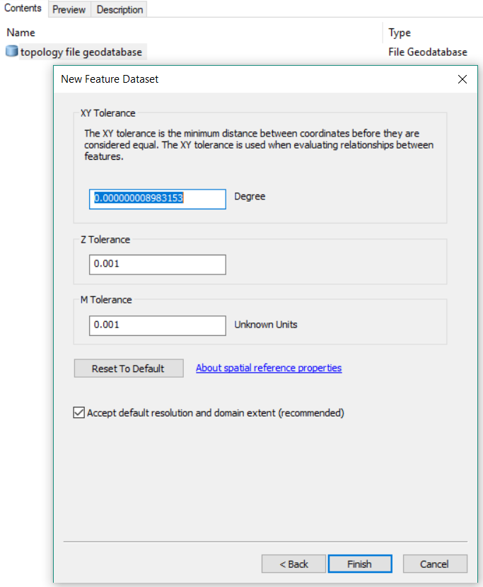
Accept the default XY tolerance
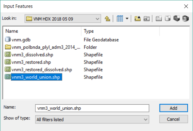
- Right-click the geodatabase and import the administrative boundary shapefile or feature class into a new feature class
.PNG?version=2&modificationDate=1525867614074&cacheVersion=1&api=v2&width=573)
- Again-click the new feature class. Name the new Feature Class appropriately.
.PNG?version=2&modificationDate=1525867614074&cacheVersion=1&api=v2)
- You should now have a new File Geodatabase, containing a Feature Dataset, which contains your Feature Class (the shapefile or original Feature Class to be evaluated).
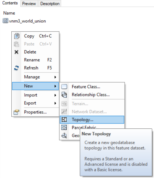
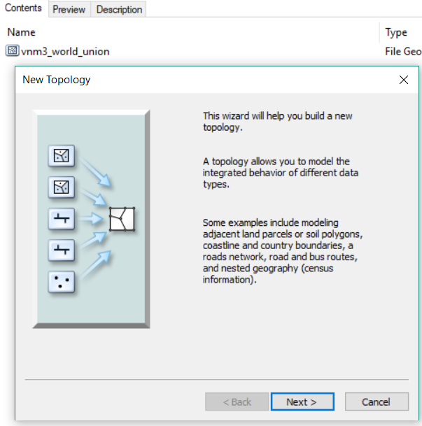
- Right-click the Feature Dataset (not the Feature Class) and select New > Topology