Output attribute fields:Table of Contents
Introduction
...
The input features will be the polygon shapefile with the lowest available administrative level. This is the only shapefile that can provide all desired arcs.
...
...
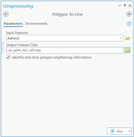
Run the ArcGIS ‘Polygon to Polyline’ tool (Toolbox > Data Management Tools > Features > Polygon To Line) with: "Input Features" = (lowest administrative level polygon shapefile); "Output Feature Class" = (as desired); "Identify and store polygon neighbouring information" selected; and all environment settings set as default.
(Illustrations are for ArcGIS Pro.)
Sample input parameters:
...
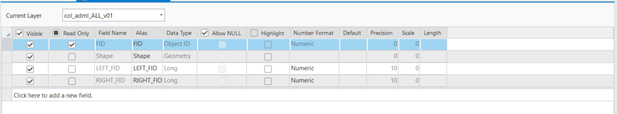
Sample output (partial):
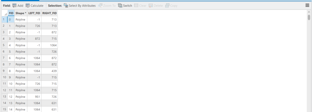
This process generates a lines shapefile with one line ('arc') along each border between nodes, and identifies the left and right polygon Feature Identifiers (FIDs) for each line feature. By convention, the outer polygon boundary is always stored in a clockwise direction so while every line will have a polyon on its right, lines on the exterior of the input shapefile will have no polygon on their left. The attribute table indicates these cases with the LEFT_FID = -1
...
Run the Polygons TO Polylines Advanced tool

...
.
The remaining processes are completed in ArcGIS Desktop or Pro, regardless of the software environment used above. (Illustrations are for ArcGIS Pro.)
...